Our new project “V2G4CarSharing” in collaboration with Hive Power and Mobility is funded by the Swiss Federal Office of Energy (SFOE) mobility research program. The project aims to develop and evaluate optimal strategies to integrate car-sharing and Vehicle-to-Grid (V2G). By integrating car-sharing and V2G, our research will tackle core issues related to the stability of the Swiss power grid and the electrification of the transportation system, thus supporting the fulfillment of the Swiss Energy Strategy 2050.
We Welcome Nina Wiedemann to MIE Lab
Nina Wiedemann joins MIE-Lab as a Ph.D. student. She completed her Master’s degree in Data Science at ETH Zürich and Bachelor’s degree in Cognitive Science from the University of Osnabrück, Germany. We welcome Nina to our team!

Keynote and paper presentation at the 12th International Symposium on Digital Earth (ISDE12)
The MIE-Lab will be present at ISDE12 in Salzburg this year. Professor Martin Raubal will give a keynote with the title: Spatial decision-making for sustainability on Tuesday July 6th. Furthermore, Henry Martin will present the paper Using Information and Communication Technologies to facilitate mobility behavior change and enable Mobility as a Service in the solution for society & citizens track on July 7th. Find out more about the program here . The journal issue can be found here and the paper is available here.
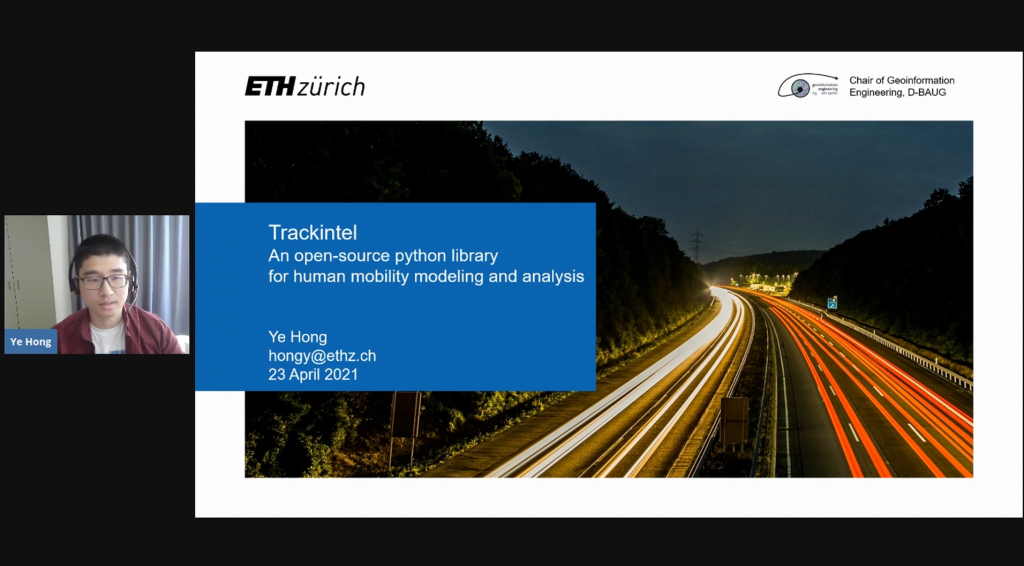
Ye Hong Presented at GeoPython 2021
Ye Hong introduced the trackintel framework at GeoPython 2021. Trackintel is an open-source python framework for human mobility modelling and analysis. Find out more on GitHub.
We Welcome Yatao Zhang to MIE Lab
We welcome Yatao Zhang to our team as a PhD student at the Singapore-ETH Centre. Yatao received his Master of Science degree in Cartography and Geographical Information System from Wuhan University, and a Bachelor of Science degree in Geographical Information Science from Sun Yat-sen University in China.
New Book Chapter Is Published – “Geosmartness for Personalized and Sustainable Future Urban Mobility”.
The book chapter titled Geosmartness for Personalized and Sustainable Future Urban Mobility by Prof. Dr. Martin Raubal, Dr. Dominik Bucher, and Henry Martin from the book Urban Informatics is now available online. This chapter demonstrates how geosmartness, a combination of novel spatial-data sources, computational methods, and geospatial technologies, provides opportunities for scientists to perform large-scale spatio-temporal analyses of mobility patterns as well as to investigate people’s mobile decision making.
We Are Hiring A New PhD Student
We have a new opening for a Ph.D. position in Mobility Information Engineering. Check here for more details. We are looking forward to your applications!
New IJGIS Paper “Applying Frequent-Pattern Mining and Time Geography to Impute Gaps in Smartphone-Based Human-Movement Data”
A new paper titled Applying Frequent-Pattern Mining and Time Geography to Impute Gaps in Smartphone-Based Human-Movement Data by Dr. Pengxiang Zhao, Dr. David Jonietz, and Prof. Dr. Martin Raubal is published in the International Journal of Geographical Information Science (IJGIS).
Abstract: Though GPS-based human trajectory data have been commonly used in travel surveys and human mobility studies, missing data or data gaps that are intrinsically relevant to research reliability remain a critical and challenging issue. This study proposes a novel framework for imputing data gaps based on frequent-pattern mining and time geography, which allows for considering spatio-temporal travel restrictions during imputation by evaluating the spatio-temporal topology relations between the space-time prisms of gaps and corresponding frequent activities or trips. For the validation, the proposed framework is applied to raw GPS trajectories that were collected from 139 participants in Switzerland. In the case study, the temporal and spatio-temporal gaps are artificially generated by randomly choosing activities and trips from the trajectory data. Through comparing the mobility indicators (i.e. duration and distance) calculated from raw data, imputed data, and data with gaps, we quantitatively evaluate the performance of the proposed method in terms of Pearson correlation coefficients and deviation. We further compare the framework with the shortest path interpolation method based on the generated spatio-temporal gaps. The comparison results demonstrate the performance and advantage of the proposed method in imputing gaps from GPS-based human movement data.
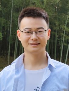
The figure above shows a hypothetical gap with its Space-Time Prism and two potential candidate trips.
Prof. Raubal Presented at Treffpunkt Science City
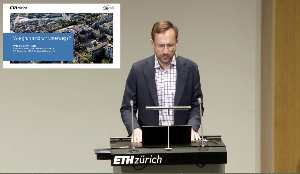
Prof. Dr. Martin Raubal gave a talk on how green are we on the road (in German) at the Treffpunkt Science City event. The presentation is available online here.
Talk by Prof. Raubal at the Fachtagung Elektromobilität Conference
Prof. Raubal gave a talk at the Fachtagung Elektromobilität Conference on Geographic information Analysis for Future Electric Mobility: Smart Charging and Energy Saving Potentials (in German).