
The “Tag der Geomatik” is the GISDay of the University of Applied Sciences and Arts Northwestern Switzerland (FHNW) and ETH Zurich and gives insight into the versatility of the field of geoinformatics and surveying.
Der #tagdergeomatik ist bereits am Laufen. Schon mehr als 200 Schülerinnen und Schüler besuchen unsere Ausstellung und die Module in Aarau. Die Ausstellung kann noch bis 16h von allen Interessierten besucht werden. @HABG_FHNW #geomatik #vermessung #fhnw #eth pic.twitter.com/vniz2iGIuq
— IGEO FHNW (@igeoFHNW) November 13, 2019
This year’s event took place as part of the “200yrs Swiss Geo X” events at the Culture and Convention Centre in Aarau and was held under the motto: how is our habitat recorded, what do we learn from the spatial data obtained and how do these data enable the sustainable design of our future habitat.
Vielen Dank an alle interessierten Schülerinnen und Schüler am #tagdergeomatik die unsere AR-App für ihrer Kartenarbeit mit dem Schulatlas verwendet haben. pic.twitter.com/DznyvkLhqK
— Schweizer Weltatlas (@swissworldatlas) November 13, 2019
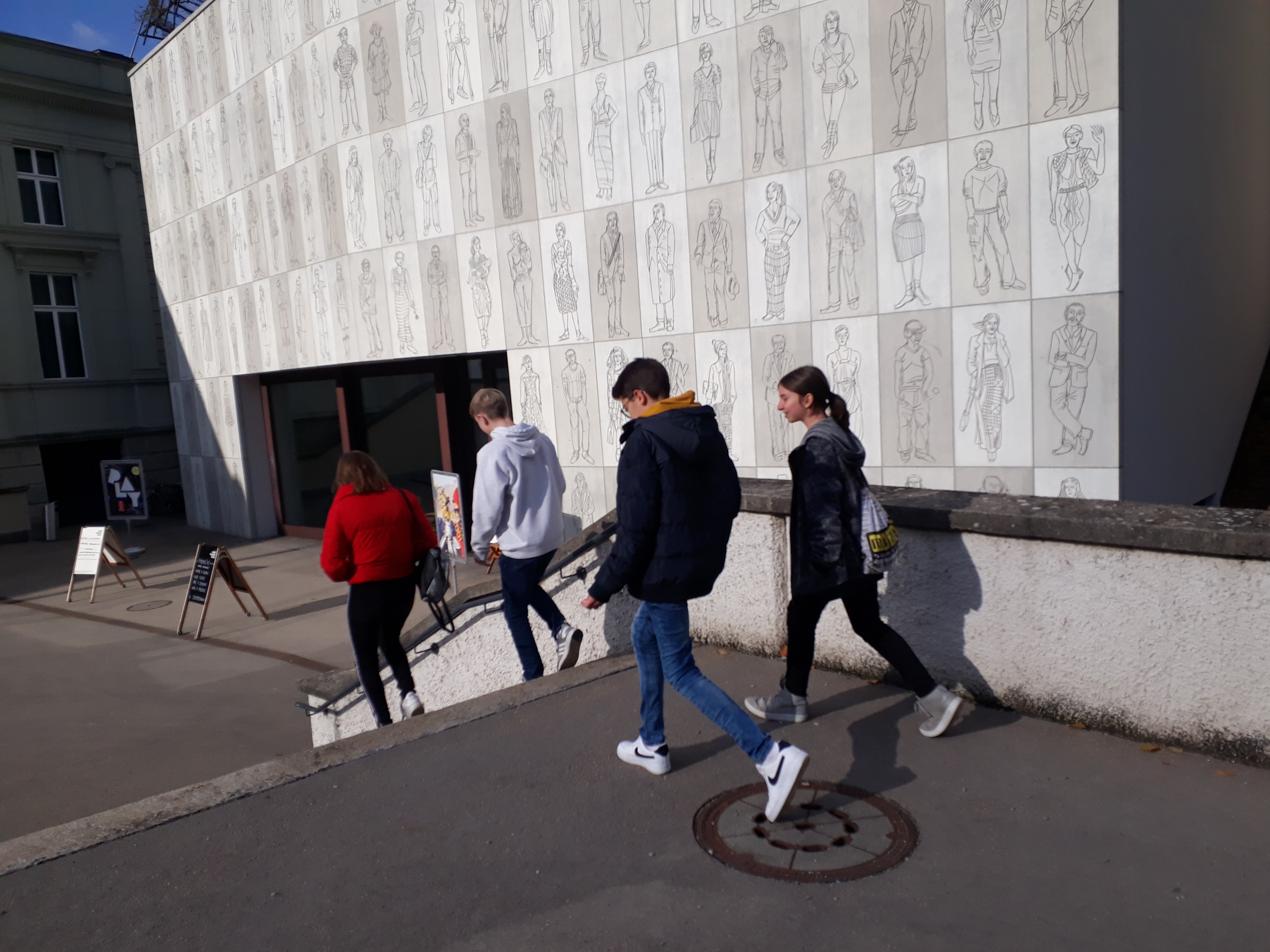
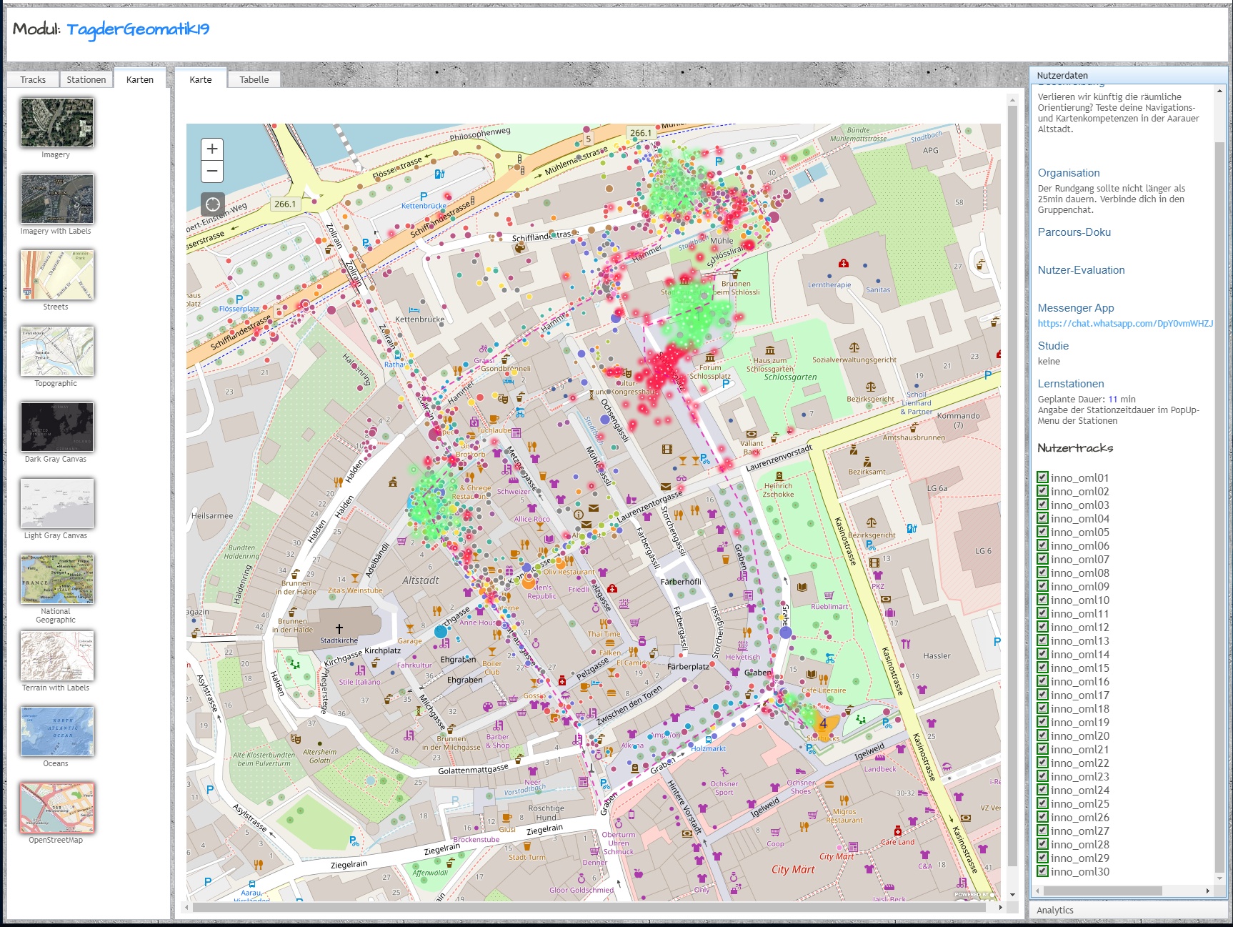
Our MIE-Lab module addressed the question whether we will lose spatial orientation in the future if we completely outsource navigation to a computer system and give up personal perception of space. This module with the ETH-App OMLETH took place outside in the old town of Aarau and provided GPS-based tricky exercises for spatial perception and orientation. Back in the congress centre the results were evaluated in classes, visualised (see the collection of six classes by 5 groups each) and discussed with the participants. A great event with a glittering feedback wall in the thumbs-up area.

Fazit meines #gisday am #tagdergeomatik mit rund 180 SuS: Geotech begeistert und ist relevant für die Problemlösung des Alltags. https://t.co/cCHKLTegYk
— Christian Sailer (@csailer80) November 15, 2019