Our new paper entitled “Street-level traffic flow and context sensing analysis through semantic integration of multisource geospatial data” by Yatao Zhang and Martin Raubal is now online at TGIS.
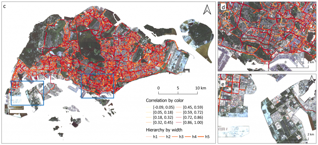
Sensing urban spaces from multisource geospatial data is vital to understanding the transportation system in the urban context. However, the complexity of urban context and its indirect interaction with traffic flow deepen the difficulty of exploring their relationship. This study proposes a geo-semantic framework first to generate semantic representations of multi-hierarchical urban context and street-level traffic flow, and then investigate their mutual correlation and predictability using a novel semantic matching method. The results demonstrate that each street is associated with its multi-hierarchical spatial signatures of urban context and street-level temporal signatures of traffic flow. The correlation between urban context and traffic flow displays higher values after semantic matching than those in multi-hierarchies. Moreover, we found that utilizing traffic flow to predict urban context results in better accuracy than the reversed prediction. The results of signature analysis and relationship exploration can contribute to a deeper understanding of context-aware transportation research.
